Montserrat Geological Map Geological map showing the four main volcanic centers. Reproduced from Volcanic Hazard Atlas of the Lesser Antilles (Lindsay, Robinson, Shepherd and Ali, eds., Seismic Research Unit, University of the West Indies, 2005).
Month: January 2016
Volcano Activity Status
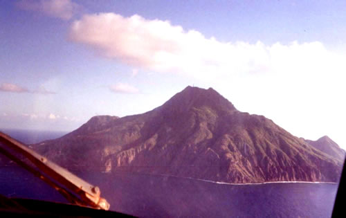
STATUS OF VOLCANIC ACTIVITY IN THE LESSER ANTILLES Island Potentially active volcano Last Holocene Eruption Historic Volcanic Earthquakes Geothermal Activity Saba Saba 280 yrs BP X X St. Eustatius The Quill ~1700 yrs BP X St. Kitts Mt. Liamugia 1843? 1620 yrs BP X X Nevis Nevis Peak X X Montserrat Soufriere Hills 1995- present… Continue reading Volcano Activity Status
St Kitts Bibliography
ST. KITTS BIBLIOGRAPHY Baker, P.E., 1963, The geology of Mt. Misery volcano St. Kitts: Ph.D thesis, Oxford University, Baker, P.E., 1965, The geology of Mt. Misery volcano, St. Kitts: Fourth Caribbean Geological Conference, Trinidad. Baker, P.E., 1968, Petrology of Mt. Misery volcano, St. Kitts, West Indies: Lithos, v. 1, 124-150. Baker, P.E., 1969, The geological… Continue reading St Kitts Bibliography