
Jamaica Radar Map
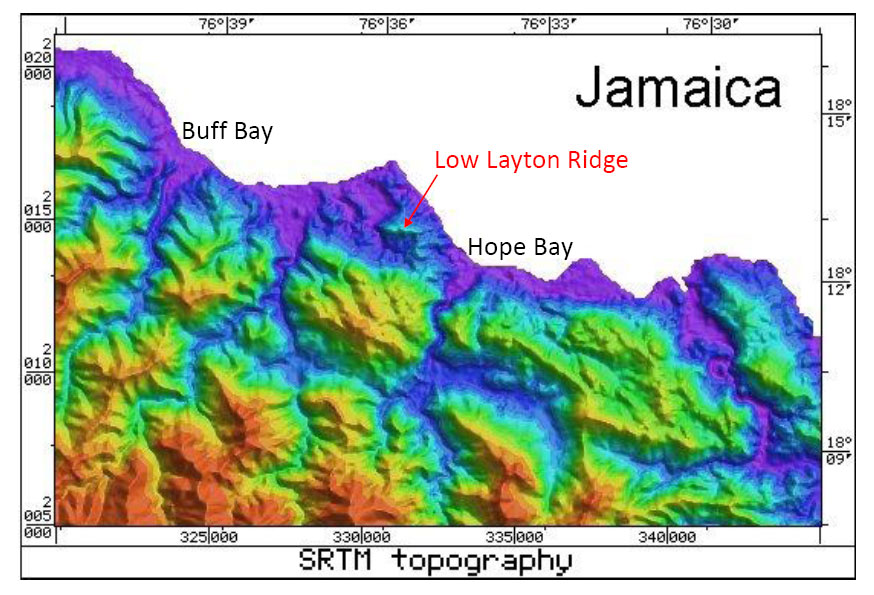
Radar Topography Map of Jamaica Courtesy of Dr. Ian C.F.Stewart. Learn more about the Radar Topology Maps.
Radar Topography Map of Jamaica Courtesy of Dr. Ian C.F.Stewart. Learn more about the Radar Topology Maps.
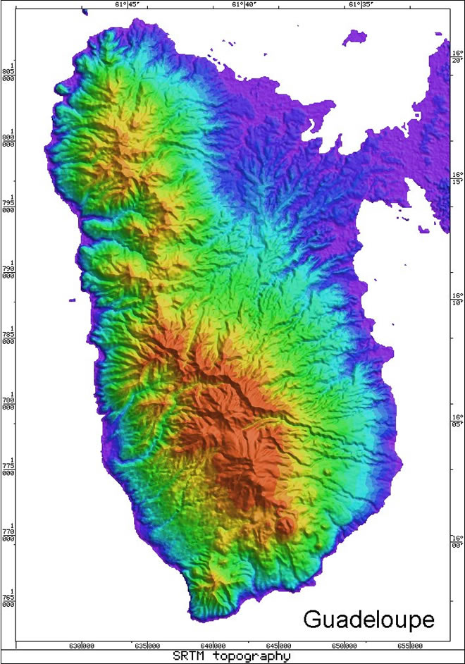
Radar Topography Map of Guadeloupe Courtesy of Dr. Ian C.F.Stewart. Learn more about the Radar Topology Maps.
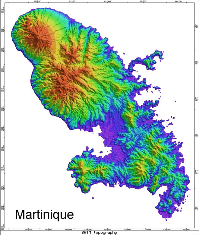
Radar Topography Map of Martinique Courtesy of Dr. Ian C.F.Stewart. Learn more about the Radar Topology Maps.
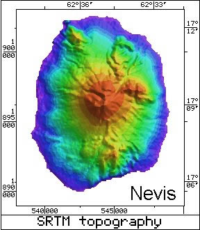
Radar Topography Map of Nevis Courtesy of Dr. Ian C.F.Stewart. Learn more about the Radar Topology Maps.

Radar Topography Map of St. Lucia Courtesy of Dr. Ian C.F.Stewart. Learn more about the Radar Topology Maps.
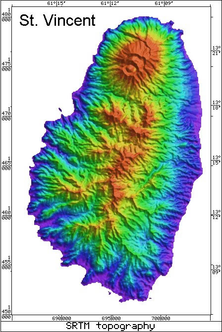
Radar Topography Map of St. Vincent Courtesy of Dr. Ian C.F.Stewart. Learn more about the Radar Topology Maps.
St Lucia Bibliography Aquater, SpA., 1982, Exploration of St. Lucia’s Geothermal Resources, Annex A – Geological Survey: Unpublished Report to
Jamaica Bibliography Wadge, G., 1982, A Miocene submarine volcano at Low Layton, Jamaica: Geological Magazine, v.119, p.193-199. Wadge, G., and
The Geology of Jamaica There was only a single young volcanic eruption on the island of Jamaica. This produced the
Geology of St Vincent Island Geology has been subdivided into South-East Volcanics (2.740.07 to 1.540.62 Ma), Grand Bonhomme Volcanic Center